Welcome to the Bronx Community Data Portal (BCDP) hosted by Urban Health Plan! The BCDP, a project of the Hunts Point Longwood Community Coalition, provides insights into the health and environmental landscapes affecting the Bronx's Hunts Point and Longwood communities. This tool can be useful for direct action purposes, such as examining infrastructure needs and changes and advocating for community resources.
This portal employs real-time data visualizations through tables, charts, and trend alerts across five chosen indicators to monitor and understand community needs:
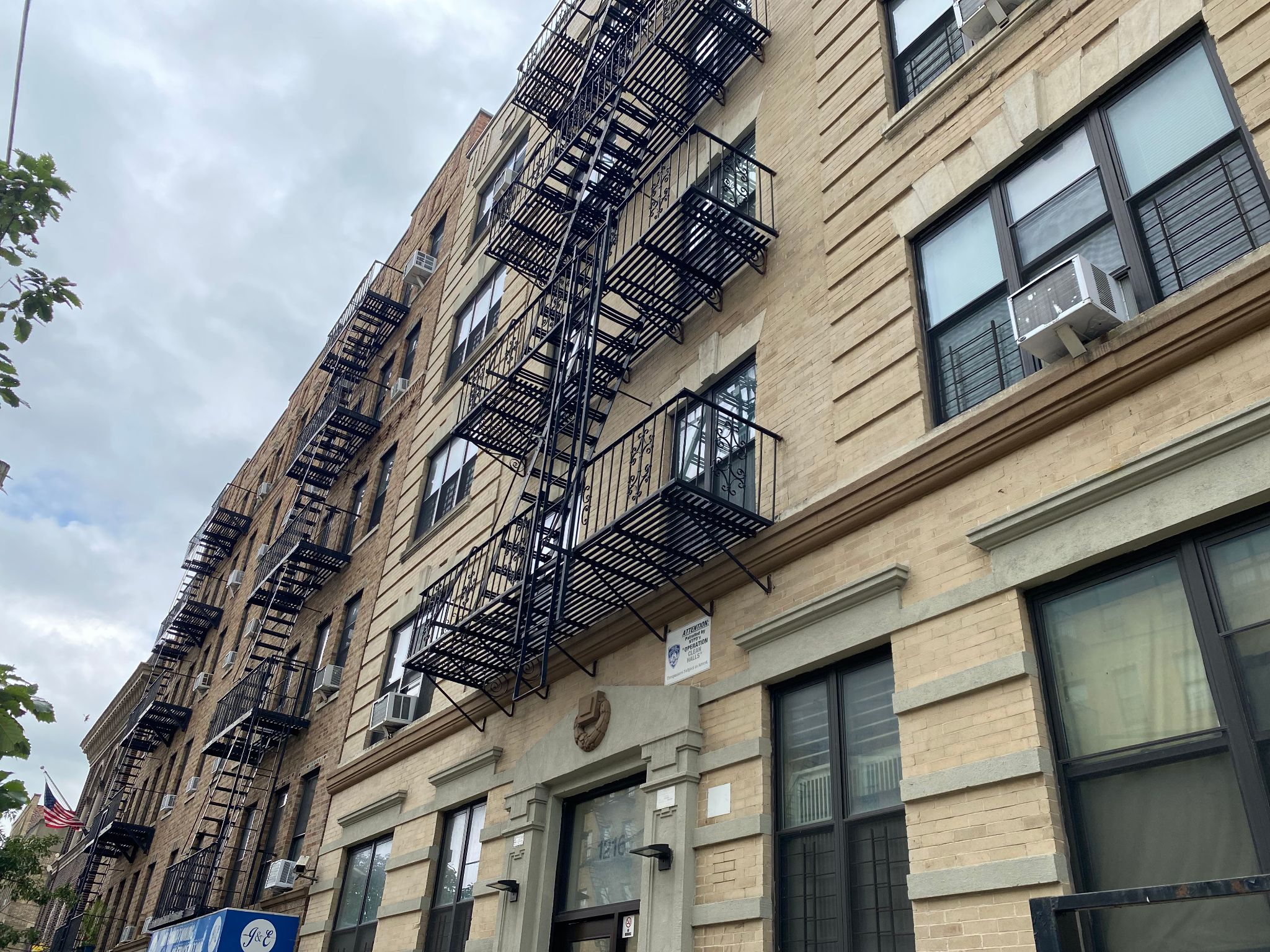
Housing
Environmental Conditions
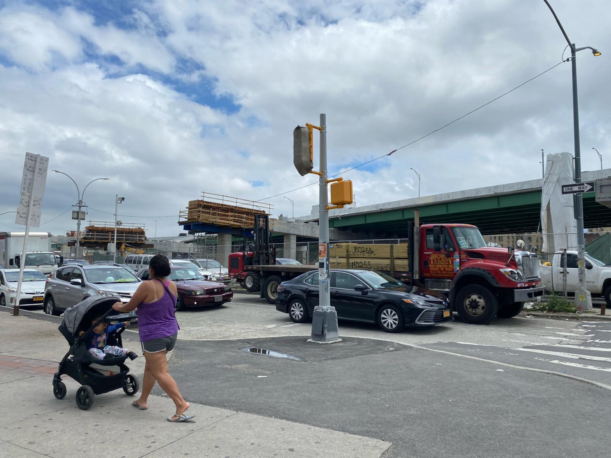
Motor Vehicle Collisions
Quality of Life
Food Security
These indicators are measured using various data sources available at the zip code, community district, and neighborhood levels.
The data used in this portal are publicly available from NYC Open Data, an agreement from the Mayor of the City of New York to ensure data transparency from various NYC government agencies. We invite the community to interact with and use the data for data-to-action purposes.
These data include cash assistance benefits recipients by neighborhood, unemployment rates by borough, disabled workers by zip code, and ACA enrollments by borough.
These data include accident details such as deaths, injuries, reasons for accident, geolocation of accident, and person involvement type (ie pedestrian, passenger, driver)
These data include SNAP/EBT benefits by household and individual levels, food pantry and distribution, and density/location of grocery/restaurants/bodegas